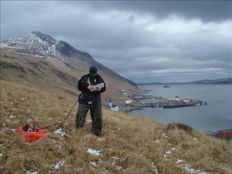
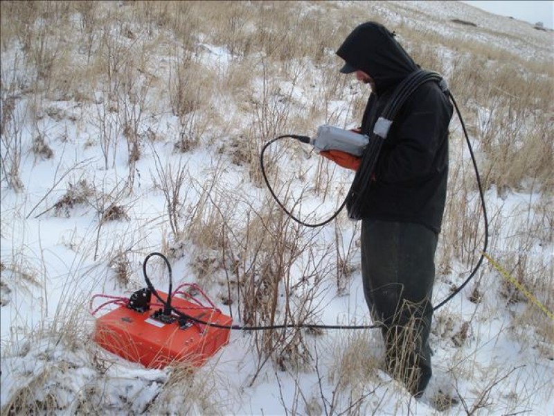
Ground Penetrating Radar (GPR) is a non-invasive, cost-effective technology which uses pulses of electromagnetic energy to image features in the shallow subsurface. NGE-TFT provides GPR services to projects across the state where conventional subsurface exploration methods (drilling, excavation, etc.) and/or inspection methods (rebar, slab thickness, etc.) may be prohibitive or undesirable due to equipment mobilization, access, buried utility conflicts, archeological/historical restrictions, or various other factors which exclude physical disturbance of the area being imaged. GPR can also be used in conjunction with standard exploration and inspection techniques to provide an additional level of subsurface information to a project at relatively little cost or effort. NGE-TFT has successfully employed GPR technology to image buried pipelines and other buried utilities as well as to image shallow bedrock and to quantify organic overburden thicknesses.
GPR technology works best in dry, electrically non-conductive materials such as sand and gravel, as well as construction materials such as concrete and asphalt. The effective resolution of GPR varies based on the electrical properties of the materials being imaged and of the antenna frequency employed, but generally it can range from a few inches to upwards of 20-30 feet. Nevertheless, GPR technology does have limitations, and some surface and subsurface conditions are prohibitive to effective GPR data acquisition. Generally, a brief site assessment should be conducted prior to the commissioning of a GPR survey to evaluate the site conditions and determine if GPR technology may be a suitable exploration/inspection method for a given project. New and/or unproven applications for GPR are constantly being discovered and tested, so contact NGE-TFT and let us work together to determine if GPR is a suitable technology for your next project!